
For large commercial operations, weather data is often viewed through the lens of immediate logistics—will the shipment arrive, will the snow crews mobilize on time, will the power stay on? But as weather and climate related risks evolve, the gap between general forecasting and strategic risk modeling is where the real exposure lies.
To help clients confront the increased extreme weather risks with scientific precision, our team has deepened its technical bench. Last year, we welcomed meteorologist Matt Grinter to analyze and inform how meteorological hazards interact specifically with client assets and future climate models to proactively reduce risk.
We sat down with Grinter to discuss the integration of meteorology into exposure management and resilience, the data behind a more challenging 2024, and the specific signals risk managers should be monitoring this winter.
Exposure management and resilience
Grinter’s work focuses on the intersection of weather, climate, and exposures of physical infrastructures. Working closely with the exposure management team, he is evaluating how specific perils impact different types of infrastructure, and how we can be more resilient using building materials to withstand hazards like hail and wind. The goal is to move from reactive claims to proactive asset hardening.
“For large clients, we’re looking at it from a risk modeling perspective—what is the risk with the current climate, and what is the risk with future climates?” Grinter explained.
“One of the things I’m hoping to be able to advise on is the latest research in terms of the best types of material to use to be resistant to hail, for example.”
This research is already driving specific mitigation protocols. For instance, Grinter is currently developing pre-storm communication strategies for clients with solar assets.
“With enough lead time, companies can put their solar panels in a stowed position to protect from extensive hail damage. We’re working on this project now.”
The 2024 weather data: anomaly or trend?
While many Canadians are grateful that 2025 didn’t follow in the footsteps of the record-breaking number and severity of CAT weather events of 2024, risk managers should be wondering if 2024 was a statistical outlier—or an indicator of a long-term trend.
According to Grinter, the data suggests we are seeing “incremental increases every year over the long-term average.” However, he emphasizes that, for a business, “severity” is often a measure of location rather than just meteorological intensity.
“If you have wildfires beside a city maybe the size of three blocks, that will be a lot more impactful than one 17 times bigger in the middle of nowhere,” Grinter says.
While fluctuations are normal—one year may be calm while the next is severe—the long-term trajectory for perils like flood and fire shows an increase in frequency.
The vocabulary of risk
As weather patterns shift, the terminology used to quantify them is also becoming more technical. Understanding these terms is critical for interpreting modern warnings and their potential impact on business interruption.
Here are some weather terms hand-selected and explained by Grinter:
Atmospheric rivers
Often described as a “river in the sky,” these narrow corridors of concentrated moisture, that brings heavy rain to British Columbia, and even Atlantic Canada, are now being rated by some academics on a scale of 1 to 5, similar to hurricanes.
“Lower numbers can be beneficial in dry areas... but once you get into a 4 or 5, we can see extreme flooding,” Grinter explained, referencing the severe BC floods of 2021 and 2023, which saw atmospheric rivers.
Operational value: Models can identify a potential atmospheric river 7 to 10 days in advance, providing a significant lead time for supply chain adjustments.
Sudden stratospheric warming (SSW)
This event occurs 10 to 50 km above the earth’s surface when the stratosphere warms rapidly, slowing the winds of the polar vortex.
“This rapid warming and slowing of winds can influence weather patterns at the surface where we live, 2 to 4 weeks later,” said Grinter.
Operational value: This 2-to-4-week lag serves as an early warning system. If the vortex weakens and breaks off, it can send extreme cold into southern latitudes, affecting everything from energy consumption to transportation networks.
Polar vortex
Often conflated with specific storms, the polar vortex is actually a persistent large area of low pressure and extremely cold air at the earth’s poles. When the vortex weakens, a “lobe” of cold air can break off and migrate south into populated latitudes. “When cool air comes down to lower latitudes, [it impacts] Calgary, Winnipeg, Toronto, Montreal,” Grinter said.
Operational value: While it’s typically just a mass of cold air, a polar vortex can trigger local phenomena like lake effect snow squalls. Its primary risk to businesses is the sustained duration of extreme cold in high-population centres, distinct from transient storm fronts.
Thundersnow
While it frequently captures social media attention due to its novelty, thundersnow is a signal of intensity. It occurs when thunder or lightning accompanies snowfall, typically indicating a highly energetic system.
“It represents that you’re seeing heavy snowfall happening which means that it’s blizzard like,” said Grinter.
Operational value: This phenomenon is most common in the Great Lakes region and Atlantic Canada. Hearing thunder during a snow event is an immediate sign that snowfall rates are high and visibility is likely compromised.
Ice accretion
Distinct from the general term “freezing rain,” ice accretion is the buildup of ice on surfaces.
“The greater amount of ice buildup leads to damage to power lines, trees, and other objects due to the weight,” Grinter noted.
Operational value: This is a primary driver of infrastructure failure. For businesses, mitigating this risk involves salting properties to prevent slips and ensuring vehicles are moved from under tree canopies during warning periods.
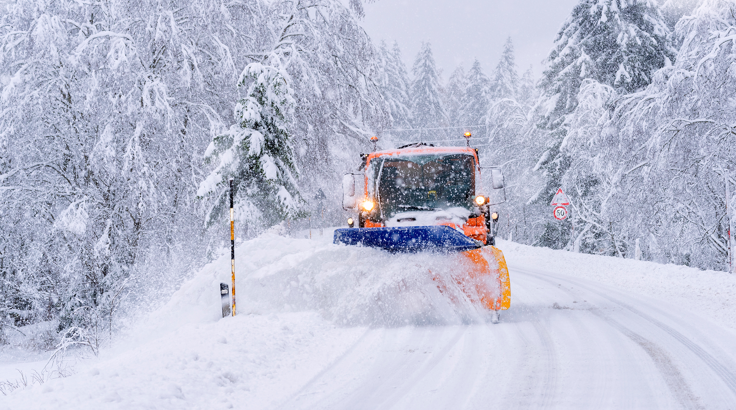
La Niña dominates this winter
In winter 2025-26, we have entered a La Niña phase, characterized by cooler waters in the Pacific. This typically drives two distinct patterns across Canada: a colder winter for the Prairies and Northwestern Ontario, and wetter conditions for the British Columbia and Atlantic coasts.
For risk managers, this forecast dictates resource allocation. “The easiest mitigation for this year is plows: watch the forecast and make sure you have your crews ready,” said Grinter.
On the coasts, the increased precipitation brings a different challenge. “It could be more rain that could lead to more severe or frequent water events, meaning the ground can’t absorb as much rain which could lead to flooding.”
What does the rest of winter 2026 have in store?
Grinter brings his meteorological expertise to predict what we can expect for the remainder of the season across the country.
“British Columbia had a wet start to winter with some warm spells, but as we head into the second half of winter it will slowly transition out of the rainy season and become drier.
Temperatures have been a roller coaster ride for the Prairies. This trend will continue, but more cold spells with shorter warm-ups are expected.
Ontario started out strong with more of a classic winter, especially in the snow belts. The next couple of months will remain active with many storms, with a fine line between snow and rain as milder air tries to push north. Squalls will continue to pile up the snow.
Atlantic Canada will have many storms in the upcoming months. The Maritimes will get a mixture of rain and snow; Newfoundland can see snow and wind similar to December.
Spring brings melting snow and frequent rainfall, which makes proactive property maintenance essential for reducing flood risk—the first line of defense against potential damage.”
For more information, speak with your insurance broker or contact us at gcs.ca@aviva.com


